GPS Gem Find - TangoGPS
I’ve been looking for a simple, no-hassles GPS display program for Linux, and I believe I finally found one: TangoGPS. My requirements were quite simple; I needed something that would talk to gpsd, and display a dot on OpenStreetMaps. I’ve been able to do this in other programs (even in 3d in WorldWind), but I wanted something to download the maps for me, and GTK+ would be a plus.
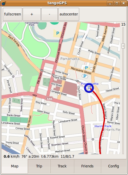
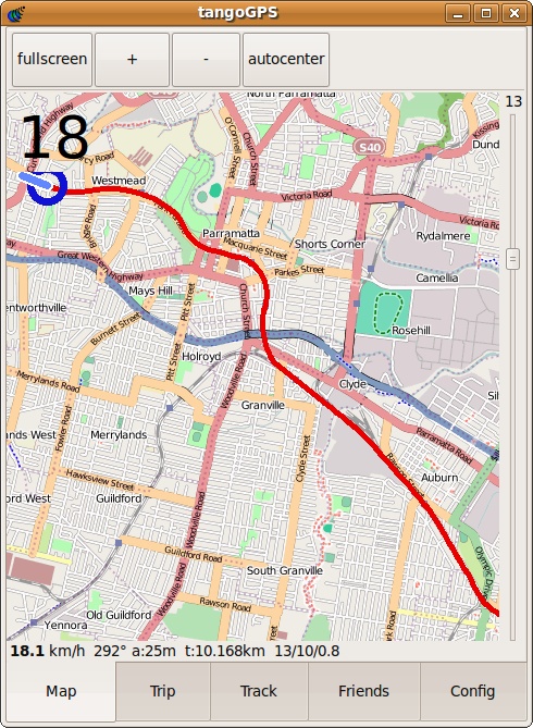
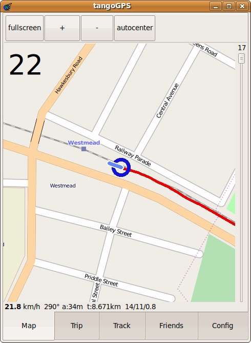
TangoGPS was easy to install (apt-get install tangogps), and on my test ‘drive’ home tonight on the train, worked a treat. See related screenshots.


